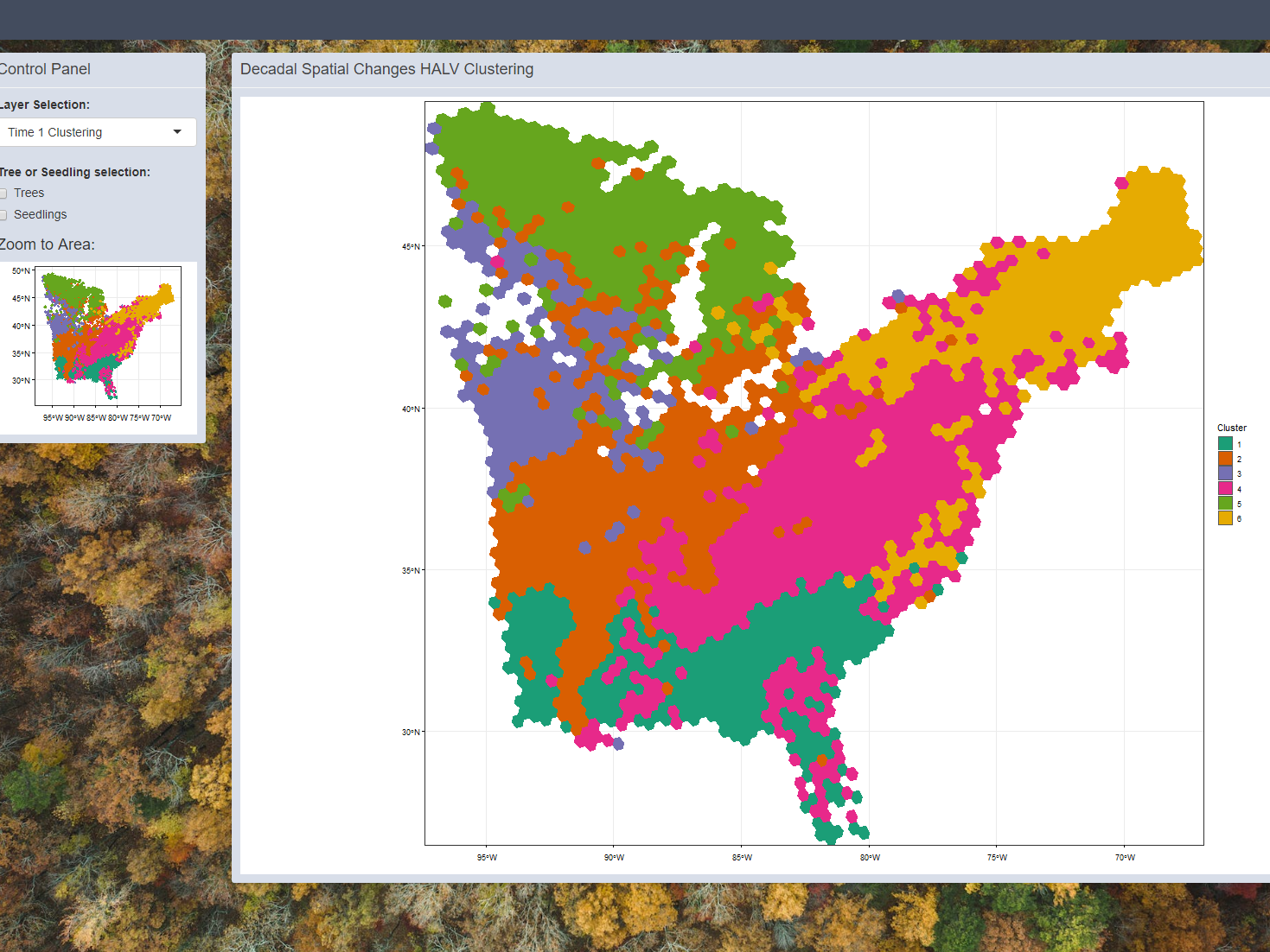
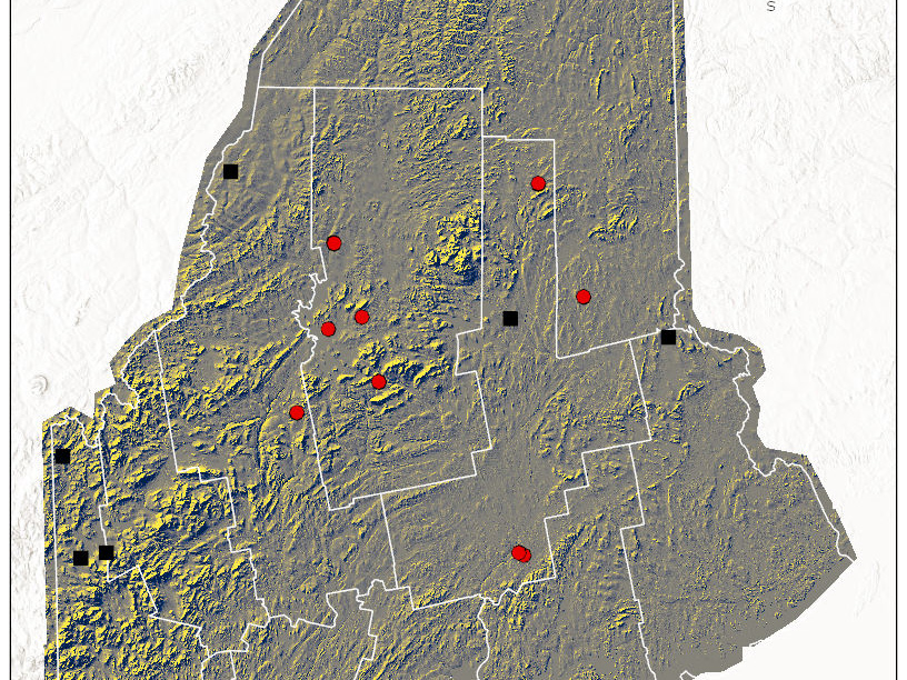
The Northeastern Forest Health Atlas (NEFHA) provides access to over 100 years of standardized forest health data, focusing on aerial survey records of forest damage across the Northeastern U.S. Users can explore maps, graphs, and tables filtered by damage agent, type, and year. The data includes various forest disturbances such as defoliation, mortality, and damage caused by insects and diseases. NEFHA aims to support research, management, and policy decisions on forest health trends over time. More information is available at NEFHA.
As a developer and geospatial data engineer, I played a key role in enhancing the Forest Health Atlas, a comprehensive tool for analyzing over a century of forest health data. My work involved updating and optimizing backend processing scripts using Python, and integrating the tool’s geospatial components with Carto, custom JavaScript, and PHP within the CodeIgniter framework. These updates improved data visualization, interaction, and overall functionality, enabling more efficient exploration of aerial survey and forest disturbance data across the Northeastern U.S.


